Source: http://j-vh.me/1HMmSGi
When I see the word 'atlas' it often conjures up memories of a tattered monstrosity my father saved from the local transfer station. Although its glossy dust cover had long been lost, the embossed majuscule on the front book board still held stubborn scales of faux-gold gilding. It covered the entire coffee table when opened and was a frequent co-pilot in helping make better sense of books like Treasure Island, Around the World in 80 Days and Tom Sawyer. That atlas represented - and in many ways, still does - an opportunity to explore unfamiliar territory, to refine spatial relationships and more often than not, provide an outlet for escape and imagination to run wild.
This was no less true when I purchased Judith Schalansky's 'Atlas of Remote Islands' published in 2010. I enjoyed both the simplicity in her cartographic representation and the accompanying text for each island, which provided an historical and social context. The emphasis on remote islands ensured that readers would be lured to far away lands while learning about how those places are still related to modern geopolitical realities. Shalansky clearly recognizes her bias in selecting locations by asking "Whether an island such as Easter Island can be considered remote is simply a matter of perspective."
“Whether an island such as Easter Island (pg.100) can be considered remote is simply a matter of perspective.”
One Thousand Remote Tweets
I went back to Schalanksy's atlas after Eric Fisher at Mapbox released an interactive map depicting 6 billion tweets. Eric noticed that tweets were missing along the Prime Meridian, which resulted in anomalous banding. This made we wonder if the opposite were true - could we see individual tweets where we wouldn't expect them? So with the atlas as my guide I explored Fisher's map to see just how remote Shalanksy's selections were.
First I created a table containing coordinates for all 50 islands - and for the geohipster crowd I added in Null Island, just because. I took the link to Eric's map and concatenated his link with each set of coordinates in CartoDB and then visited each island. My initial thought was to query the databases by a geographic bounding box using the q=&geocode=0,0,10km parameter but there isn't a publicly available database to query. Fortunately after I started exploring I realized there were so few I could literally just count them on-screen. I tallied the approximate number of tweets (approximate because yes I probably missed some) and added them to the table. The resulting CartoDB map depicts the location of Sholanksy's islands with an info window that reports out the total number of tweets, provides a link back to Fisher's map and a Wikipedia link for further exploration.
I tallied a total of 1,005 tweets from the 50 islands that Shalansky included in her atlas but only 16 of the islands reported any Twitter activity. The majority of the tweets were - not surprisingly - from Easter Island (49%) followed by Robinson Crusoe (15%) and Diego and Christmas Islands (5%). Although a third of the islands have internet access, after re-exploring these islands through the lens of Eric's map it is probably unlikely we will see that number dramatically increase. There are enough localities like Southern Thule or Rudolf & Franklin Islands that will remain offline until we start seeing Twitter-supported satellite phones (or maybe that is already a thing).
Source: http://j-vh.me/1xVAyPn
Null Island, Where Art Thou?
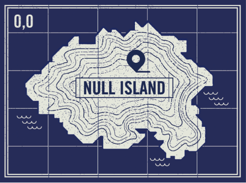
It was also interesting to see how many people had 'visited' Null Island. While it is likely impossible to decipher whether this was intentional geolocation anarchy, geohipsters at play or geocoders gone wrong, given that Null Island doesn't exist it tallied an impressive 10% of the total Twitter activity. And this is where the realities of the traditional atlas intersect the realities of spatial data collection.
I wouldn't have found Null Island in my childhood atlas (or using Google Earth today) but it IS a spatial entity - albeit two simple coordinates that could have just as easily been named 'Origin Island.' So while the framing of Fisher's map as the most detailed ever resulted in the folks at Floating Sheep to state it 'rubs us the wrong way' it does provide some interesting details about the intersection between access to and adoption of the Twitter platform and how that data is aggregated and interpreted by various geolocation services (something they also elaborate on).
Null Island is a spatial reality that became a visual reality - and geohipster totem - after accepting that the multiple reports of a position of [0,0] represented 'something' (although initially just a geogoder failsafe). Visualizations of global flight patterns or wind dynamics also represent these spatial realities we can't 'visit' or see without the visualization process. And without Eric's visualization - most detailed or not - it wouldn't be as easy to decipher something like the distribution of the most remote tweets. And though the medium of the atlas by which we explore the world may be changing, Shalanky's caution about what we consider remote is still warranted.
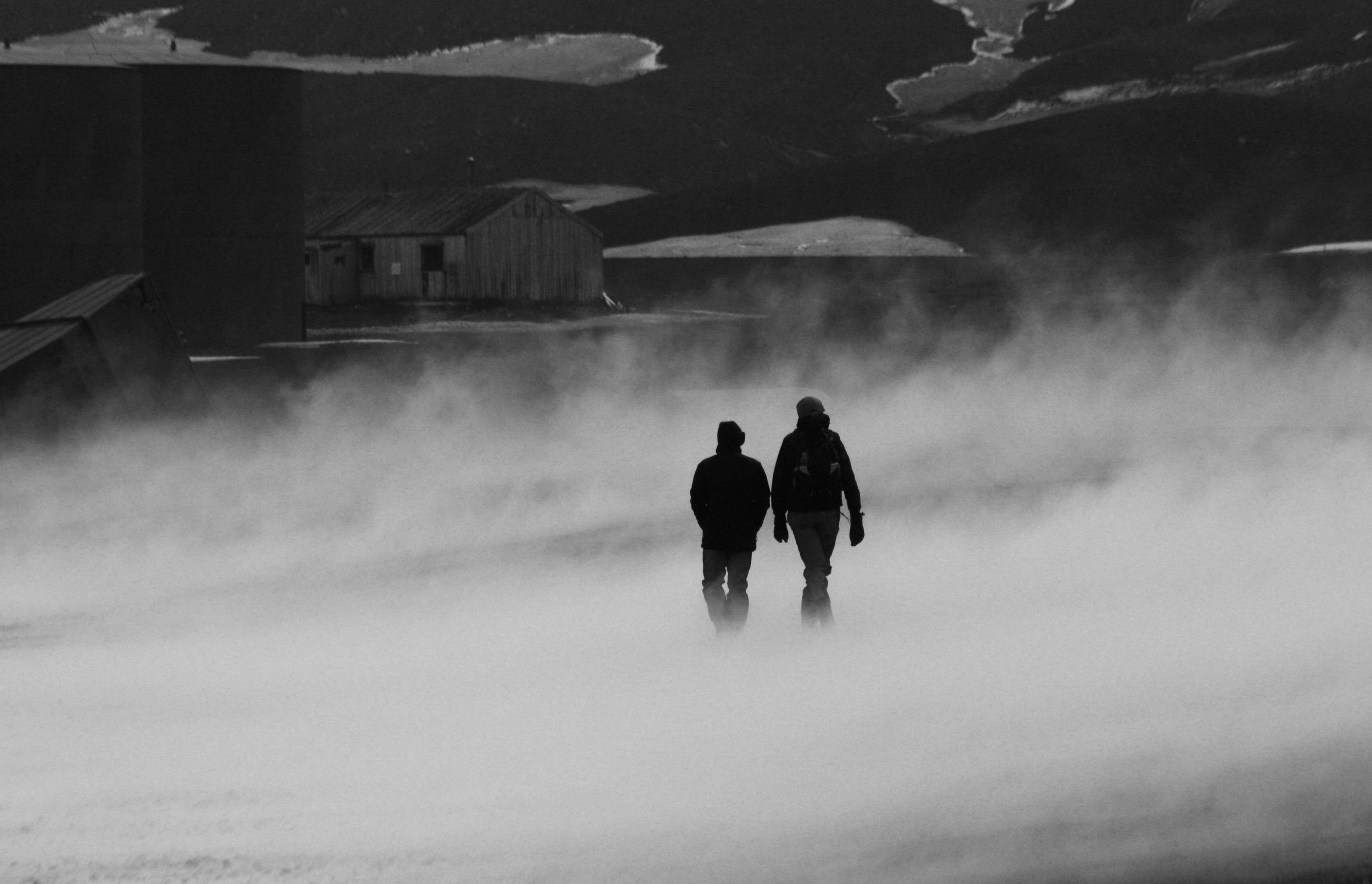
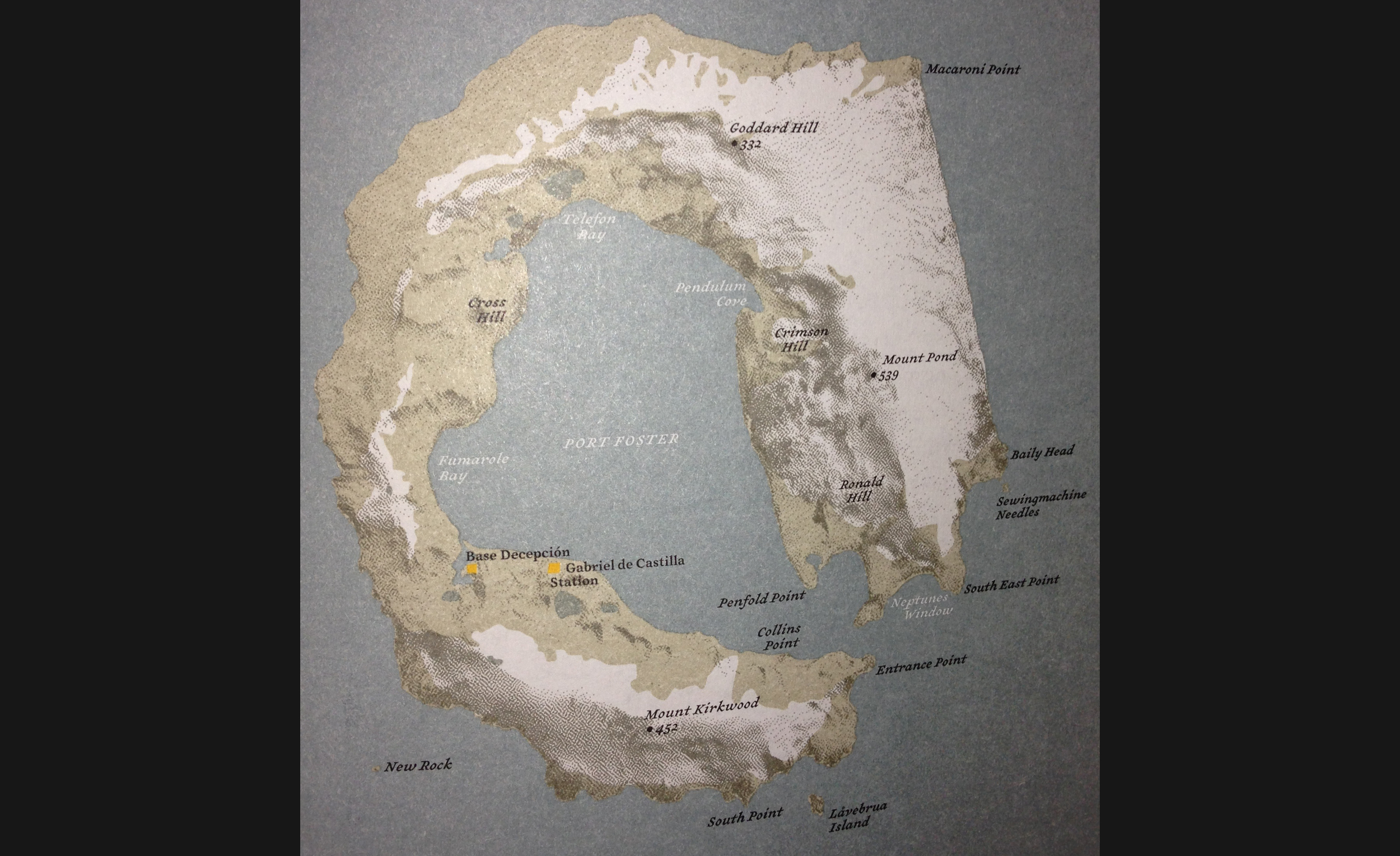
Although Shalanky's subtitle is "Fifty Islands I have Never Set Foot On And Never Will" I feel fortunate to have visited at least one of them - Deception Island. I was a participant on the Geological Society of America's 125th Anniversary field trip to explore the geology and ecology of South Georgia Island, South Scotia Arc and Antarctic Pennisula through Cheesmans' Ecology Safaris. For a more in-depth geologic exploration of the island you should read Anne Jefferson's and Chris Rowan's recent blog entry on Highly Allochthonous. However I can safely add Null Island to the list of islands that I will never set foot on...